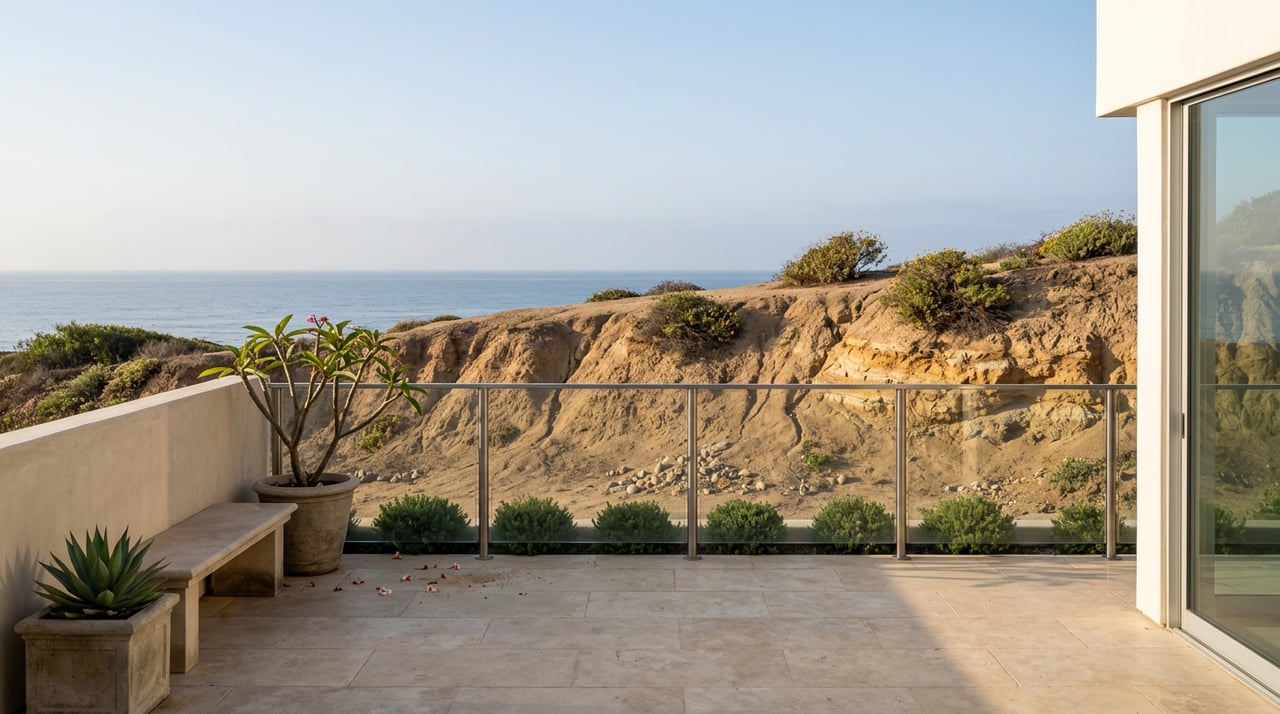
Walk the stretch of Sunset Cliffs Boulevard between Adair and Osprey streets on any given weekend and you will find caution tape strung across what used to be open trail, a scattering of people stepping around it anyway, and a pedestrian path that has been quietly rerouted into the bike lane. Cyclists move into the traffic lane to avoid walkers. Walkers duck the tape to get closer to the eroding bluff edge and the ocean below it. Nobody seems to remember when this stretch worked the way it is supposed to.
At a May meeting, the city presented a $32.59 million seawall project. It addresses wave-driven erosion along a specific stretch; drainage runoff is a separate erosion concern affecting the park.
What closed, and why
The current bottleneck traces to two specific failures. In January 2026, a section of bluff near the Sunset Cliffs sign gave way, taking out the protective railing that had been there. As reported by Times of San Diego, Kimberly Wender, the project engineer from Dokken Engineering who has been leading the city's design work, told residents at the May meeting that the collapse "took out protected rails" and, simply, "that's gone today." Then in April, a second section broke off near the Arch, a spot popular with cliff jumpers, prompting an SDSU geology professor to note that the sandstone here is roughly 75 million years old and fractures naturally as the earth shifts and waves crash against the rock.
Neither collapse was a surprise to anyone who has watched this coastline for a while. Both are the reason the current detour exists, and both predate any seawall plan by months.
The seawall project
The Sunset Cliffs Seawall Improvement Project targets a specific 335-foot gap between two existing concrete seawalls near Spalding Point, roughly the same stretch now wrapped in caution tape. The design combines a 205-foot tieback wall with a 130-foot secant pile wall, drilled 60 feet into the bluff. At an estimated $32.59 million, that works out to nearly $100,000 per linear foot.
The project has been in the works since 2022, when the city first found as little as 12 feet separating the bluff edge from the roadway in places. What has changed is the price tag. Ahead of the May 12 meeting at the Point Loma/Hervey Library, OB Rag editor Frank Gormlie urged neighbors to show up and ask city staff directly why a project that had once carried an estimate under $8 million was now priced at $32 million. The city fielded 30-plus questions over the meeting's hour and a half.
The deeper friction is not about money. Sunset Cliffs Natural Park operates under a city-approved master plan with a vision statement calling for a park "free from the effects of man," where visitors can watch "the geological process" of erosion unfold rather than have it engineered away. A concrete wall driven 60 feet into the bluff sits uneasily against that language, and it is the argument local advocates keep returning to whenever the project comes up.
One resident at the meeting proposed an alternative worth noting: an artificial reef offshore, which he argued could cut wave energy by 75 to 95 percent and slow the same erosion without a permanent structure on the bluff. The city did not adopt the idea. The seawall remains the recommended approach.
The erosion the seawall does not touch
The park also faces a separate drainage problem. Most of the ongoing erosion at Sunset Cliffs is not primarily wave action against the toe of the bluff. It is storm-water runoff pouring over the top. Advocacy group Save Sunset Cliffs has documented this for years: the existing drainage along the park is little more than curbing, unable to handle the volume and velocity of runoff coming down the streets that spill onto Sunset Cliffs Boulevard from the Point Loma hillside above. That runoff saturates the bluff from the top down, a different failure mode than a wave chewing away at the base.
As reported by Times of San Diego, contributor Steve Anderson, who rides this stretch by bike regularly, observed after the May meeting that the seawall would guard against coastal erosion "even though most of the erosion can be attributed to runoff." The fix for that problem sits in a separate initiative, the city's Coastal Resilience Master Plan, which took effect in 2023 and includes drainage upgrades along Sunset Cliffs as one small piece of a much larger citywide document. It was barely mentioned at the seawall meeting. When a resident asked about parking and drainage improvements near the project site, city staff clarified those fall under the Coastal Resilience Master Plan instead, a separate and distinct effort from the seawall itself.
The seawall project and drainage upgrades address different erosion mechanisms through separate city efforts.
| Seawall Improvement Project | Drainage component of the Coastal Resilience Master Plan | |
|---|---|---|
| Targets | Wave-driven undercutting, Adair to Osprey | Storm-water runoff across the wider park |
| Structure | 205-ft tieback wall, 130-ft secant pile wall, drilled 60 ft | Grading and drainage upgrades, no wall |
| Estimated cost | $32.59 million | Not broken out separately in public materials |
| Funding status | Funded through design only, per city officials at the May meeting | Folded into the 2023 citywide plan |
| Design status | 60 percent complete as of spring 2026; final design and permitting targeted for summer 2027 | No published construction timeline |
What this actually means for your route
If you are hoping the caution tape comes down soon, the honest answer is not yet, and possibly not for a while. The city's own project page lists the seawall design at 60 percent complete as of spring 2026, with final design and permitting expected by summer 2027. Attendees at the May meeting learned that the project is currently funded through the planning phase only, meaning the construction dollars themselves are not yet secured. A separate industry bid notice from 2024 put construction starting as late as fall 2027. Nothing here suggests a fast timeline. Writing about the meeting for OB Rag, longtime attendee Lynne Miller compared the funding promise to the years-long closures on Friars Road, an example of how drawn-out infrastructure work can be.
There is also a second change worth knowing about before it happens. The city has floated making the section of Sunset Cliffs Boulevard starting at Monaco Street one-way, a move that could free up space for pedestrians but also drew pushback from residents when it first surfaced in January 2026. Nothing is finalized, but if you drive that stretch regularly, it is worth watching for.
In the meantime, a few practical notes for anyone routing a walk, run, or sunset stop around the closures:
- The bottleneck is concentrated between Adair and Osprey streets near the Sunset Cliffs sign. Both free lots, at Ladera Street and at Lomaland Drive near Point Loma Nazarene University, still offer access to sections of the park outside that stretch.
- Luscomb Point, an open-ceiling sea cave that is worth the walk at low tide, remains a good stop if you want the geology without the congestion.
- If you bike this route at peak hours, expect to share space with pedestrians who have been pushed off the closed trail. In a Times of San Diego report, Anderson wrote that "most people opt to ignore the signs," which means slower, more crowded passage through the closed zone regardless of which side of the tape you are on.
The read worth keeping
The seawall is designed to address the specific 335 feet of bluff it targets, assuming the remaining construction funding comes through. It will not slow the runoff eating away at the rest of the park, because that was never its job. Drainage upgrades are included in the separate Coastal Resilience Master Plan. If you live close enough to walk this coastline on a regular Tuesday, that is the distinction worth carrying into the next city update: the seawall and drainage upgrades are separate efforts.
Point Loma residents who track infrastructure like this closely tend to be the same ones who understand what a stretch of coastline is actually worth, and what it takes to protect it. If that describes where you are with a property near this part of the peninsula, Warren Molina offers the same close, ground-level read on real estate that we just gave you on a seawall. Request a private consultation when you are ready to talk specifics.